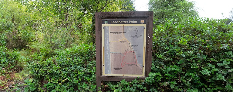
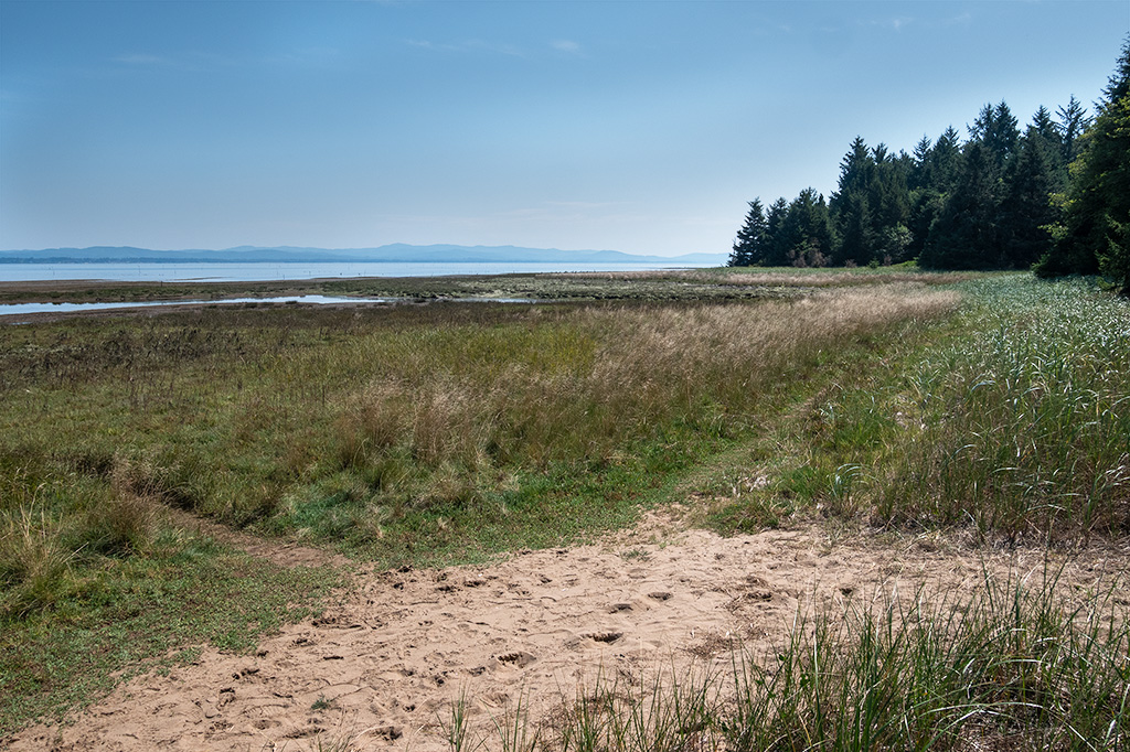
One of the lesser-known and lesser-visited parks in the Pacific Northwest, perhaps due to its remote location on the northern tip of Washington’s Long Beach Peninsula, or perhaps because it is largely a nature preserve with few amenities other than a maintained trail system, Leadbetter Point State Park offers a unique hiking experience along sandy beaches and thick coastal forests.
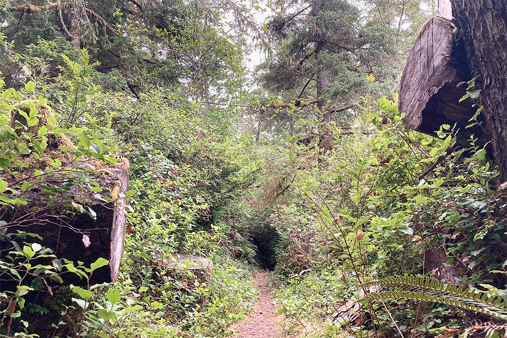
Leadbetter Point is a migratory stop for numerous shore birds traveling between their summer nesting sites in Alaska, and their winter ranges between South America and California. Known as the Pacific Flyway, the prime birdwatching times are late April into early May to see the northern migration, and then October to catch the birds on their return trip. Unlike the coastal Oregon forests that were heavily logged and ravaged by forest fires in the early 20th century, the coastal forests in this 1,700 acre preserve remain largely untouched and as they were a century ago.
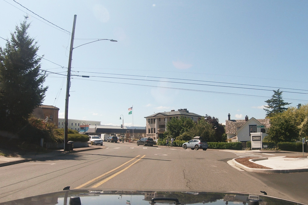
If Leadbetter State Park is akin to traveling back in time, getting to the peninsula of Long Beach (and the park itself) is a similar step back in time, to the early 20th century when automobile travel was still in its infancy. If you are coming from Seattle, you will inevitably be linking-up with U.S. Highway 101 in Raymond and South Bend, a route established in 1922 when the bridge over Willapa Bay was opened. If you are coming from Portland it is U.S. Highway 30 which was the Columbia River Highway, back in 1922.
My favorite route, though, is Washington State Route 4 (SR 4) which is much more relaxing (and lesser traveled!) than U.S. 30 out of Portland and was known as the Ocean Beach Highway, back in 1915. Unfortunately, by 1939 the highway was completely paved. That does not mean you cannot still have some fun, though!
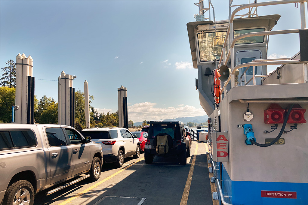
Though most people either crossover into Oregon at Longview, WA or continue on SR4 to U.S. 101, I prefer to combine the routes in Cathlamet and take the Wahkiakum Ferry over to Westport, OR and then continue up U.S. Route 30 to Astoria (30 minutes). The ferry ride is only 10 minutes long and while many of us go over bridges all the time, how often do you get to cross a river on a ferry? While the ferry is $6 vs. no charge for going across a bridge, it is nice to be able to get out and stretch your legs – and there are some great photo opportunities along the way, as you cruise slowly across the Columbia River.
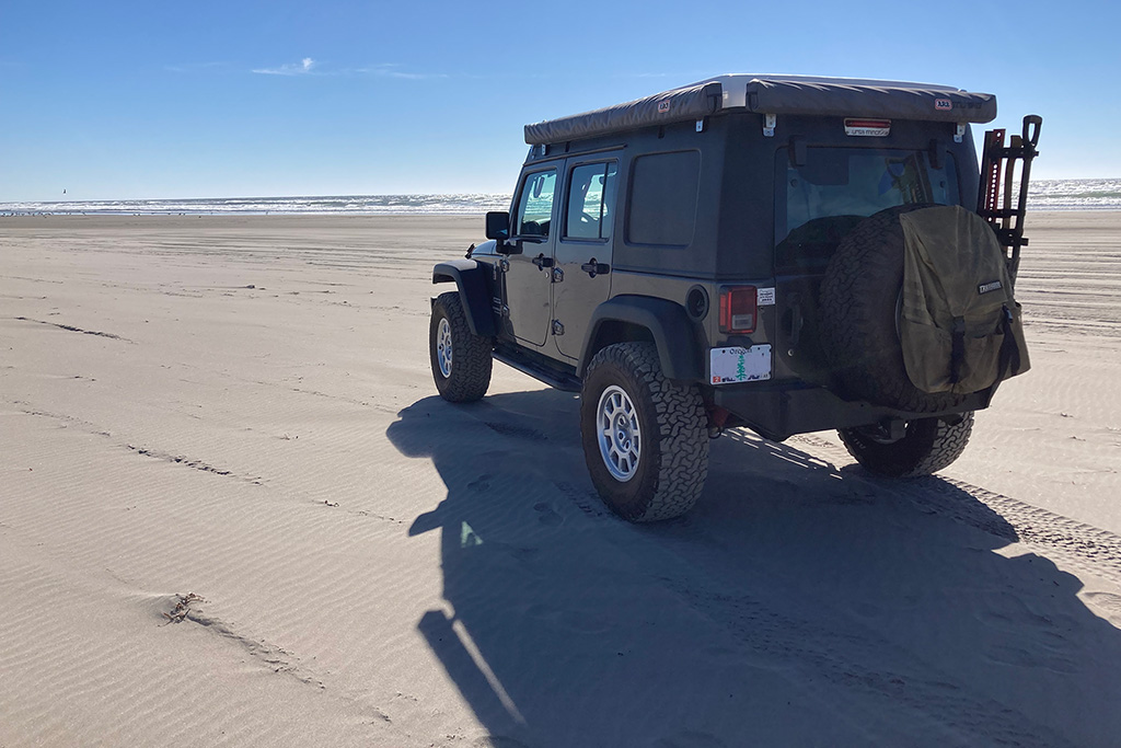
The history does not stop once you reach the peninsula. You can enter the beach at the town of Long Beach near the southern end of the peninsula and drive 13 1/2 miles north to Oysterville Road, just like the first stage service did, in 1870. Of course there was no Oysterville Road back then, but that is the spot where the stage turned inland from the beach, to reach the town of Oysterville. From Oysterville Road head north on Stackpole Road to Leadbetter State Park.
We had a great time on Long Beach and although it was not one of our typical off-road adventures, we made the most of it and enjoyed the hiking and the great Pacific Northwest history.
