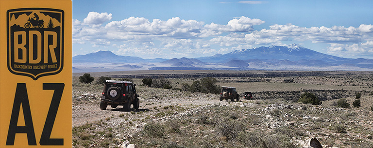
The Arizona Backcountry Discovery Route (“AZBDR”) is a 750-mile-long mostly offroad route that winds its way across the state, from the Coronado National Monument on the U.S. – Mexico border in the south, to the Vermilion Cliffs National Monument on the Arizona – Utah border in the north. I joined up with five other Jeepers from around the western U.S. on May 12th in Sierra Vista, AZ to tackle the route over the ensuing week.
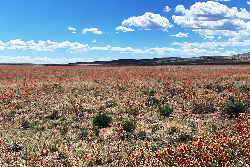
We could not have chosen a better time to run the route. As you can see in the photo above, the desert was blooming from end-to-end, and the temperatures were moderate. The AZBDR is broken down into six sections of about 120 miles each, so we had allotted one section for each day that we had planned for the trip. This worked well and we could have completed it in five days, except for some side excursions and a broken rear shock mount that necessitated an afternoon in Flagstaff for a welding job. Yes, the AZBDR is tough – particularly the optional expert section near Kinnikinick Lake just southeast of Flagstaff.
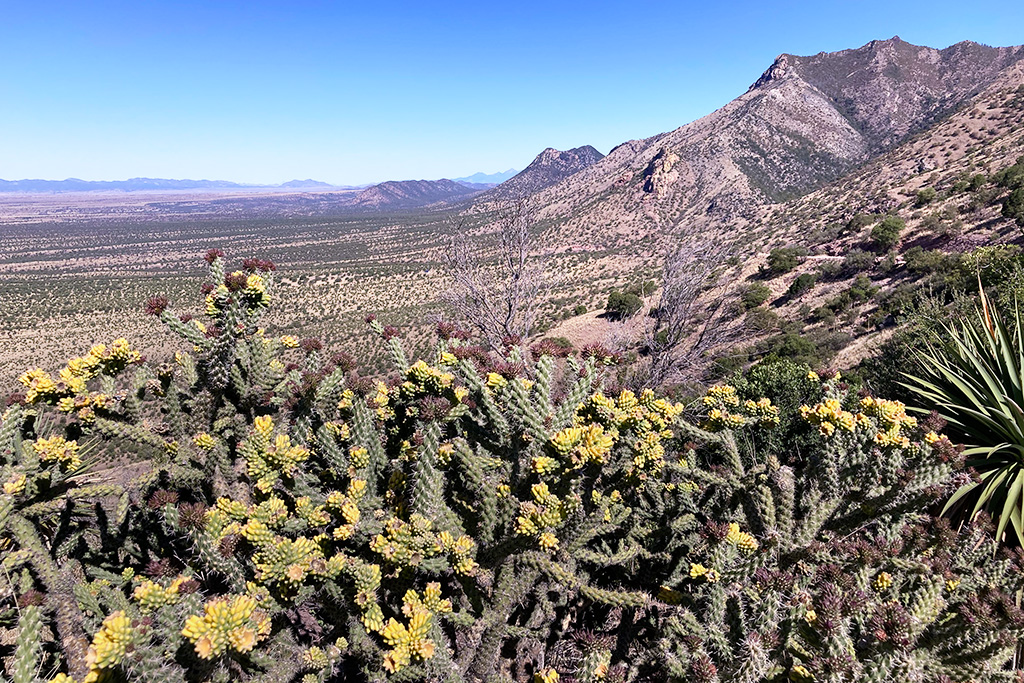
We spent the first day meandering along the U.S. – Mexico border, before looping around the historic Empire Ranch portion of the Las Cienegas National Conservation Area. The last third of this section is on paved roads, so even though it is 100+ miles long like the other sections, it goes by quickly.
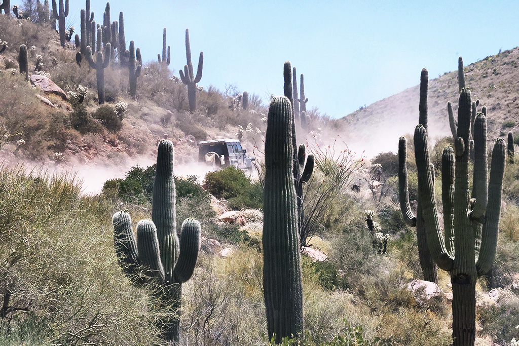
Continuing north along the second leg of the route, we spent much of the remainder of the day traveling through cactus-filled desert land east of Tucson. This area is outside of Saguaro National Park, but you would never know it from the massive cactus that dot the arid landscape. Though not technical in nature, it was still one of my favorite sections.
Towards the end of day one, we took the alternate expert section up Pioneer Pass, leaving the saguaros for pines in the Tonto National Forest. We were well ahead of schedule at this point, with only about 10 miles left of section two which terminates in the town of Globe, 25 miles east of Scottsdale. We had begun the day at 5,000 feet in the Huachuca Mountains, dropped down into the desert for much of the day and then finished-up at about 5,000 feet on Pioneer Pass. At this elevation and time-of-year, the temperatures were mild, and we all had a great night of sleep under the stars.
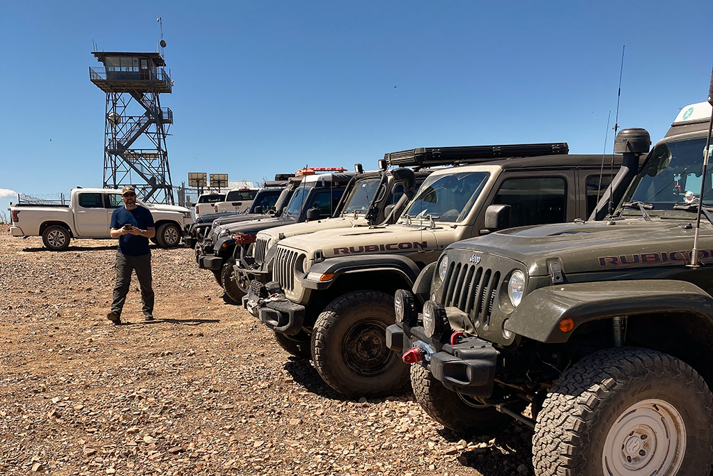
Day two began with a quick stop in the town of Globe for fuel and then we were off to the Aztec Peak lookout tower, which is the highest point (7,710 feet) in the Sierra Anchas mountains. Surprisingly, we were not the only ones there. We did not see many other people on our trip – at least not on the backroads and trails – and USFS Road 487 that runs up to the lookout tower has several technical sections. After spending an hour or so taking in the sights on Aztec Peak, we headed back down the mountain to Highway 260, to rejoin the AZBDR towards the Mogollon Rim.
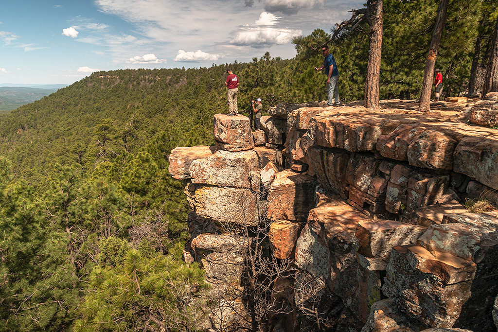
The Mogollon Rim is a popular Arizona getaway destination, so this area was flush with RV’s and lots of other traffic on USFS Road 300 (aka “Rim Road”). We also had some construction traffic to deal with because the Forest Service was paving an additional stretch of the road. Still, it was nice to be up in the mountain pines – Arizona’s Mogollon Rim is home to the country’s largest stand of Ponderosa Pines – a surprising fact for this west coaster.
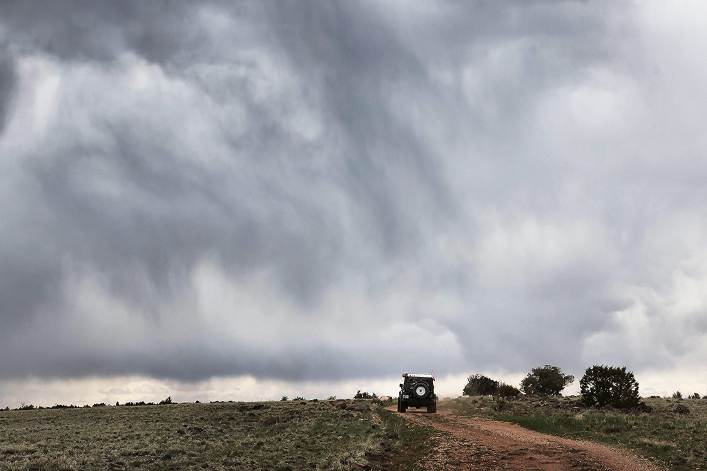
Day three began with some ominous looking clouds on the horizon as we worked our way through the Coconino National Forest towards the east side of Sedona and Flagstaff. I did not have rain on my bingo card for this trip across Arizona, but they have had a wet year and evidently mother nature was not done watering the desert wildflowers.
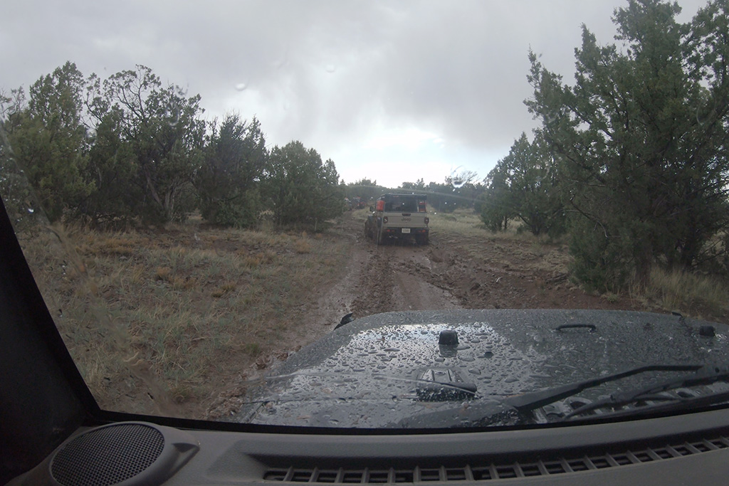
Section four of the AZBDR is no joke, particularly if it happens to rain and the road becomes a slick muddy mess! This section is challenging even without the rain, as there are a lot of rocky sections, particularly if you choose the expert section, which seems to just run up an old dry riverbed full of small to medium-sized boulders.
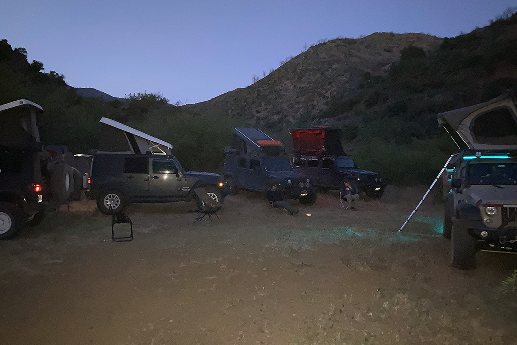
This was probably my favorite section of the entire trip because, honestly, I did not know if we were going to make it. The road was a soupy mess and there just was not any traction at all. In the photo above, we had to make a sharp left-hand turn that went uphill, which really raised hell with everyone’s front lockers, that wanted to make the Jeeps go straight. Lockers are not always ideal.
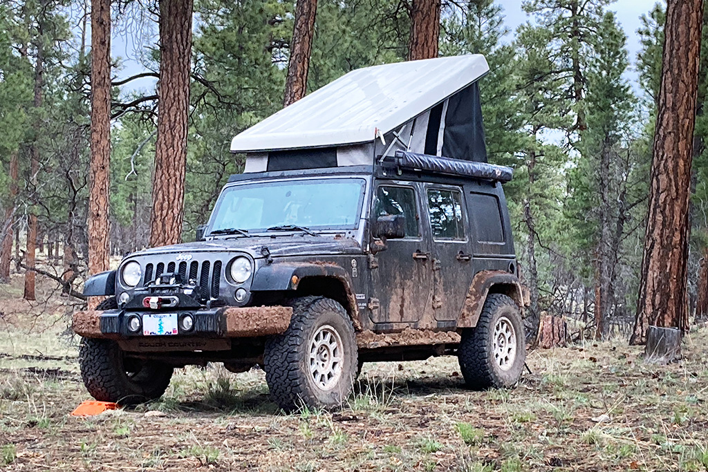
After a long day it was an early evening for everyone, and we found a nice open area just off a USFS road to camp for the night. In the morning, I would use my shovel to scrape off the mud from my rock sliders since I could barely open the doors, but for now we had concurred the Arizona mud and were halfway to our destination on the Arizona – Utah border.
Section five of the AZBDR was a fast-paced run north of Flagstaff, beginning in the Coconino National Forest and then into the Kaibab National Forest, skirting the Grand Canyon. This section would eventually take us into the town of Cameron on the Navajo Nation, but since we did not have a permit to camp there, we called it a day in the Kaibab National Forest.
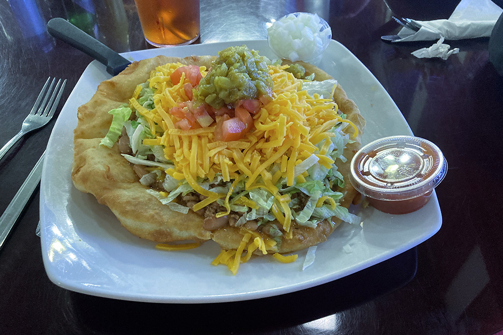
One advantage to a short day just ahead of our push into Cameron was that we could time our arrival for lunch at the Grand Canyon Restaurant inside the Cameron Trading Post. To be fair it is just tourist food, but after five days in the desert it really hit the spot. After lunch we all headed over to the Navajo Parks and Recreation department for our permit that we would need for the day.
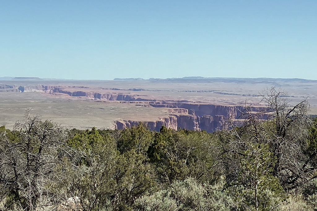
We headed north out of Cameron and then turned off the highway and headed west into the desert. Our first goal on this last section of the AZBDR was the Little Colorado River Gorge.
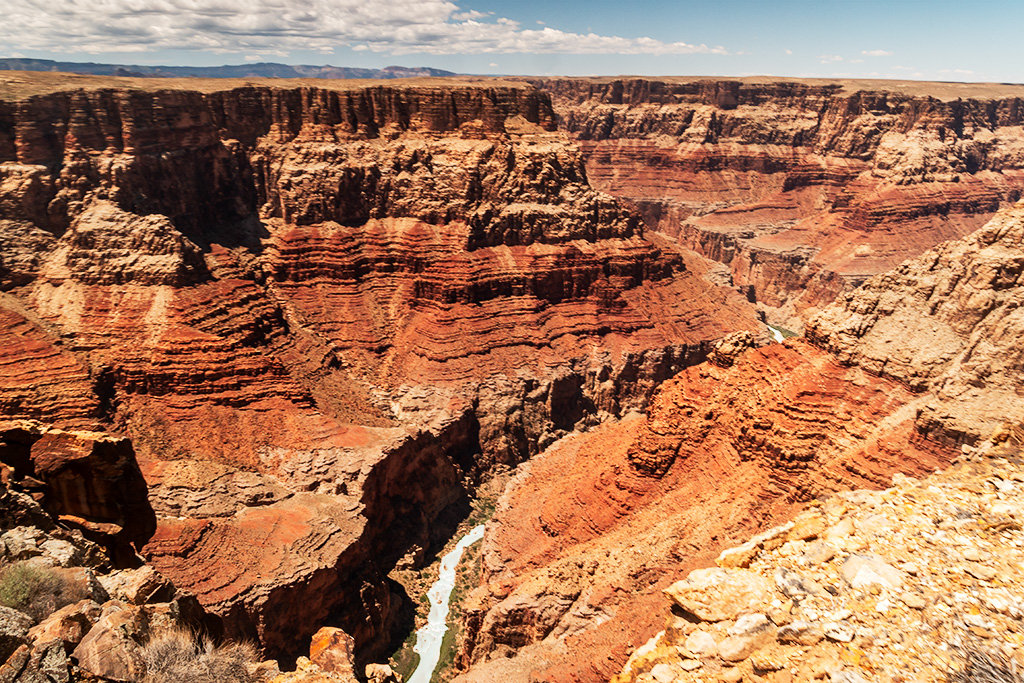
The Little Colorado River Gorge lived up to its billing with its narrow canyon of steep multicolored cliffs and turquoise blue water. This section of the river flows year-round, being fed by Blue Spring, some five miles upstream from the gorge. The mineral rich water of Blue Spring gives the river its unique color and it is quite a contrast against the red cliffs of the gorge.
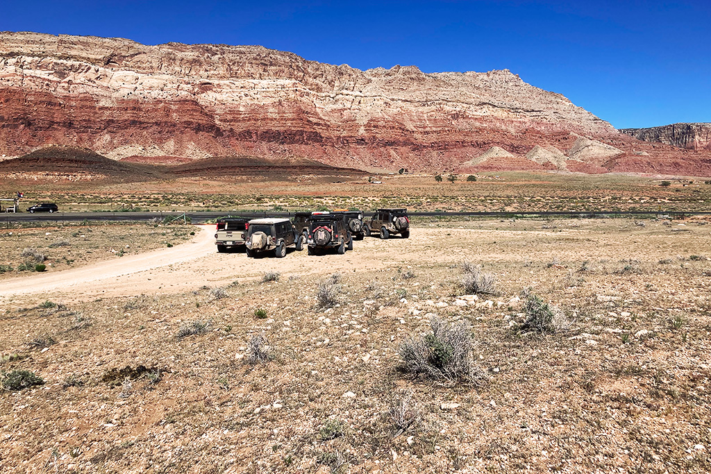
Back onto pavement, we left the Navajo Nation and traveled west on Highway 89A towards the Vermillion Cliffs National Monument, where we planned to camp for one last night before hitting White Pocket in the morning.
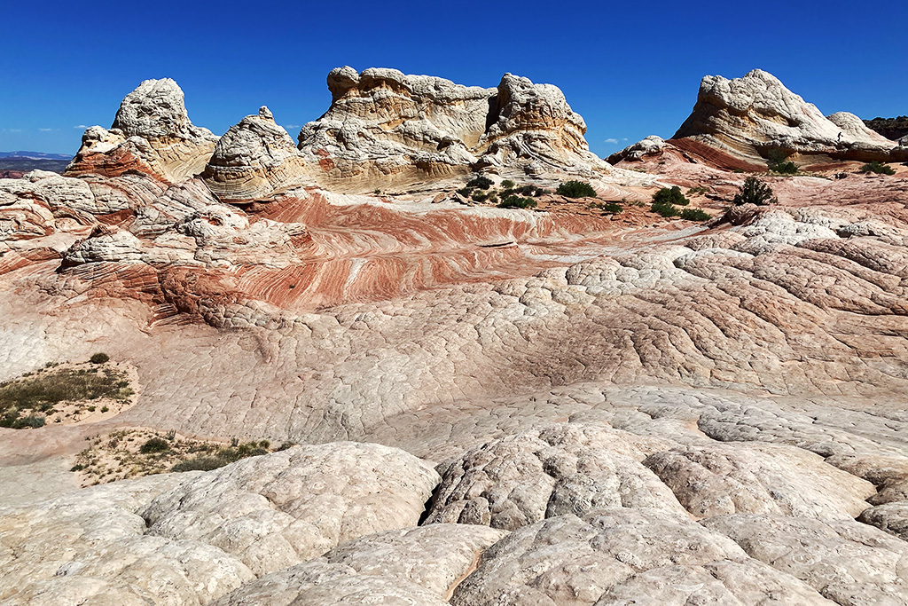
We had seen a lot of Arizona over the course of six days and White Pocket was a great way to tie a bow around this adventure. The swirling multicolored sandstones and odd shaped outcroppings created by thousands of years of erosion were fascinating. White Pocket is only about 10 miles off the main House Rock Road but the trip through deep sand interspersed with short, rocky sections took the better part of an hour.
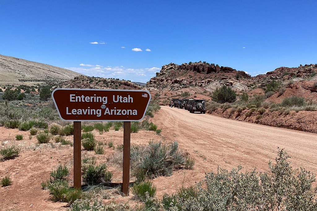
750+ miles in six days was quite a trip and for several of us, including myself, it meant a 1,000+ mile trip home! It was difficult driving past popular Utah destinations like Grand Staircase, Zion and Bryce Canyon but those would have to wait until next time. The Jeep was due for an oil change, and I had broken a rear swaybar link during the excursion to White Pocket, but other than that everything performed well. I have only been on two of these Backcountry Discovery Routes but the Arizona BDR is my favorite so far, and it is going to be hard to top.
We were fortunate enough to Marc Doiron along with us, and you can see videos of our journey on his YouTube channel.