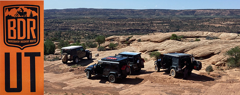
After traversing Arizona in the spring, the group was excited to get back on the trail for our fall run, this time crossing the state of Utah. If you are into Jeeps then you know that Moab is a trip in itself, so we also planned to spend two or three days there on Jeep Badge of Honor trails.
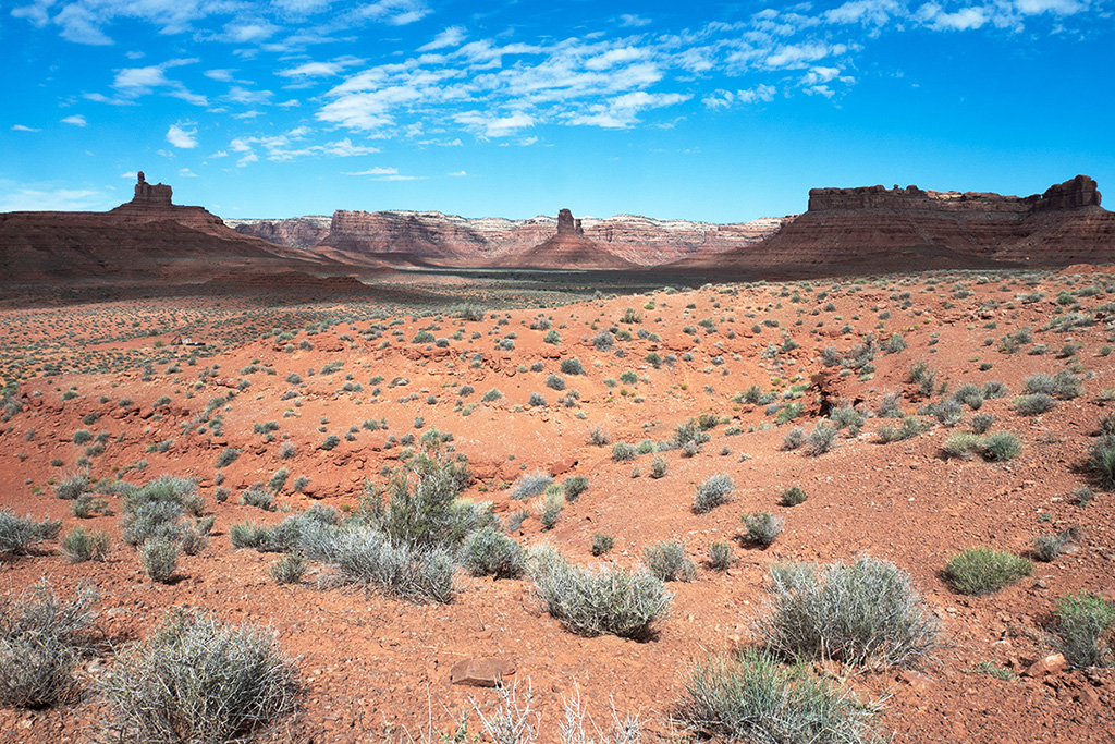
The Utah BDR is 900-miles long and traverses the state from south to north (or north to south if running it in reverse). We were missing two on this trip, as one was on his way to Alaska, and another on his way to the Alvord Desert in Oregon, so the remaining four of us met in Bluff, Utah to begin our journey. And what a great start it was! We picked up the first leg in Valley of the Gods which is simply stunning (and obviously the site of many a western movie). We rolled into Blanding, Utah which is the end of Section 1 and the beginning of Section 2, early in the afternoon. After fueling up and loading up on frozen burritos and breakfast sandwiches (three of us have HotLogic slow cookers – a really great solution for cooking a meal while you are traveling) we headed out on Section 2 in the Bears Ears National Monument.
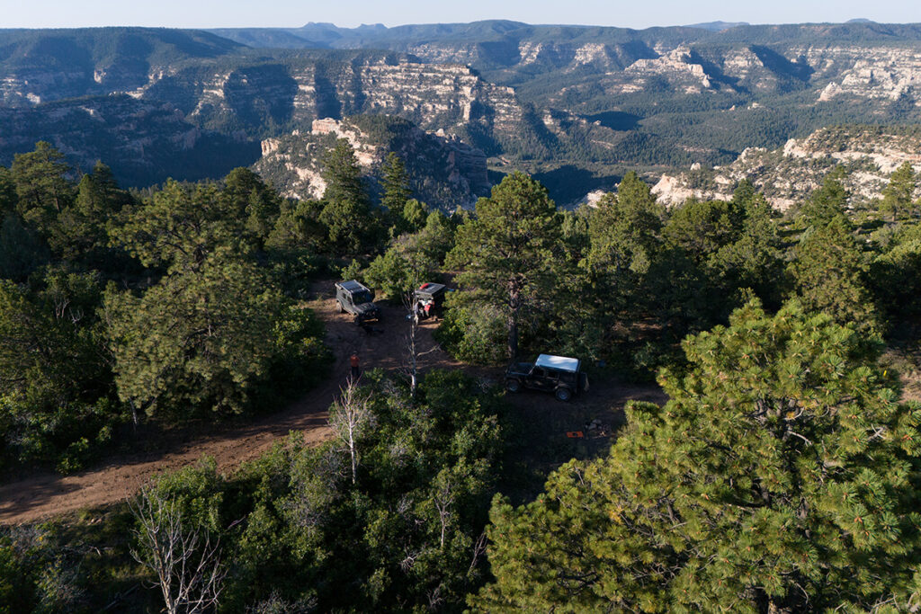
When we are on these journeys, it is always a bit of a competition to see who can find the best campsite for the day. Since we were already into Section 2 and a bit ahead of schedule, we split up and began searching. I happened to come across a nondescript road that was generally heading west through the forest, so I kept at it for about an hour and discovered what we refer to as the “holy grail” of campsites – in the trees with plenty of shade, but with an incredible view over a vast canyon (actually several canyons; Poison Canyon, Rig Canyon and Peavine Canyon). It was an amazing campsite, and I felt like I’d hit the lottery. We were still in southern Utah, but at 8,700 feet it was cool and comfortable, and we even had a brief rain shower! Sometimes you just get lucky, but that is why we spend so much time looking for a great campsite.
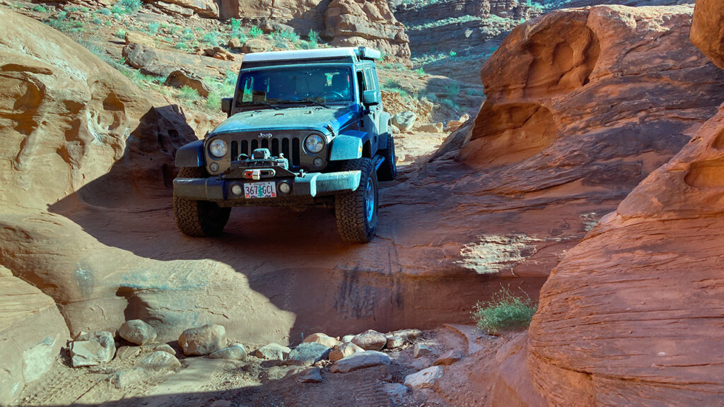
The next day we continued north through the high pines to Highway 211, towards Canyonlands National Park. One feature of Backcountry Discovery Routes is that they often include optional “Expert” sections that offer a more challenging terrain to navigate, then the standard route. We picked up one of these routes in Canyonlands NP called Lockhart Basin Road. This road connects Canyonlands to Moab and was not only a scenic smorgasbord of hoodoos, spires and buttes – it was also quite a challenging road! It was our introduction to rock crawling and was a great warm up to Moab. Fortunately, when traveling south to north, the more difficult obstacles are on downhill sections, which are much easier to navigate then going uphill.
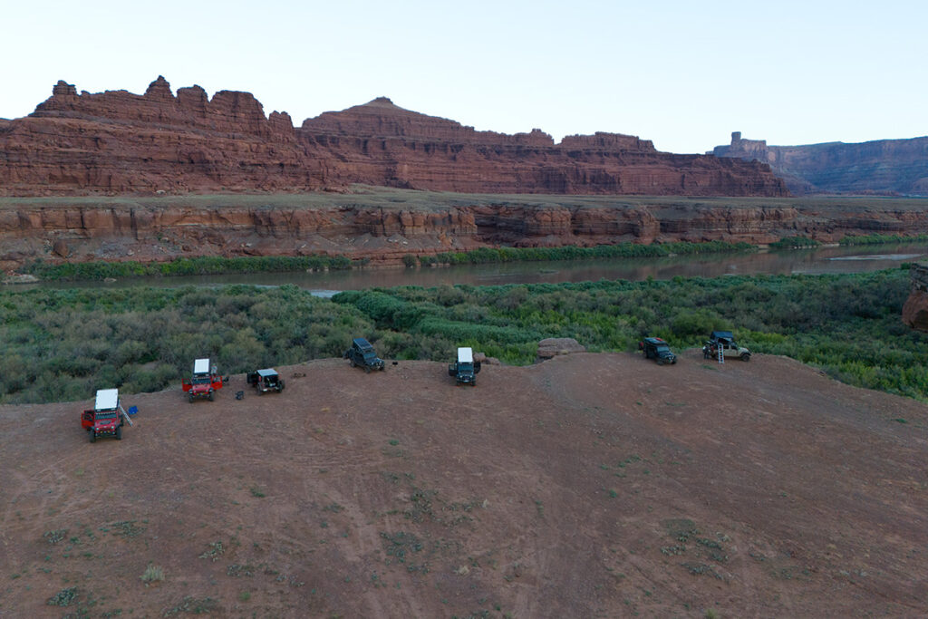
The sun was setting by the time we cleared Lockhart Basin Road, so we found a quick spot along the Colorado River to camp for the night. We also made room for three more Jeeps that were traveling the same route. We had run into them several times during the trip, so it was great to swap stories with them, that night. We would part ways in Moab, as they were continuing north on the BDR.
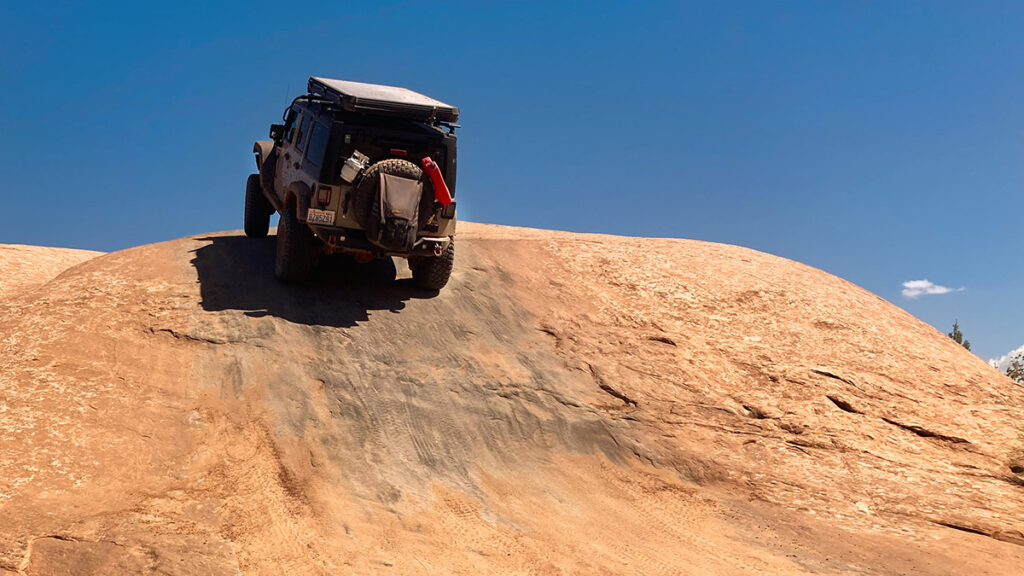
We ended up spending three days in Moab which was not nearly enough time to experience it all, but it gave us a good taste of rock crawling on trails like Fins and Things, Hell’s Revenge, Steel Bender, and Elephant Hill. To be perfectly clear, we were just a bunch of clumsy overlanders trying to use to this rock crawling thing, but it was a great experience, and we all learned a lot about ourselves as drivers, and our Jeeps.
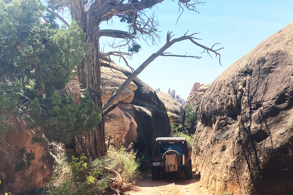
One of my favorite Jeep Badge of Honor trails was Elephant Hill, which is back south of Moab in Canyonlands NP. It was about 90 minutes on paved roads which is a long way to go, but the trail was worth it. Lots of rocks, lots of tight sections. Even some higher speed desert bombing if you take the Confluence Overlook side-trail, which overlooks the confluence of the Colorado and Green rivers.
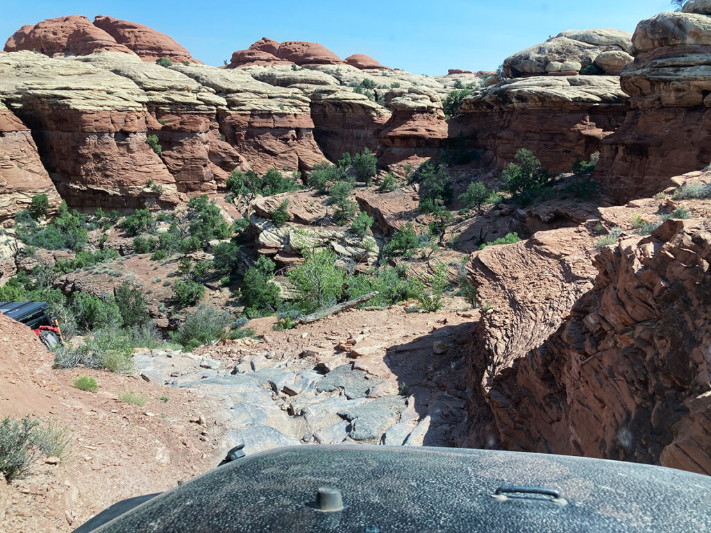
Alas, we finally had to part ways with Moab so that we could continue our journey north along the BDR. We headed east out of Moab on Section 3 and travelled up and around Bull Canyon, before connecting with Highway 128 along the Colorado River.
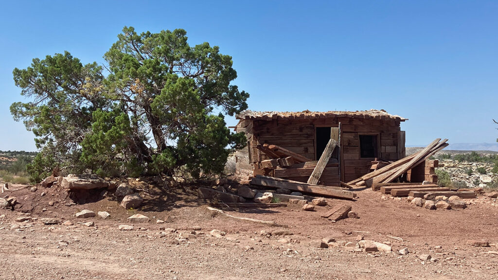
We left Highway 128 at Owl Draw Road and headed east again through some old uranium mines, towards the town of Green River. This was a long, hot and dusty section of the BDR, even though we were generally above 5,000 feet before dropping into Green River at 4,000 feet. It is hard to top Valley of the Gods, Bears Ears and Canyonlands!
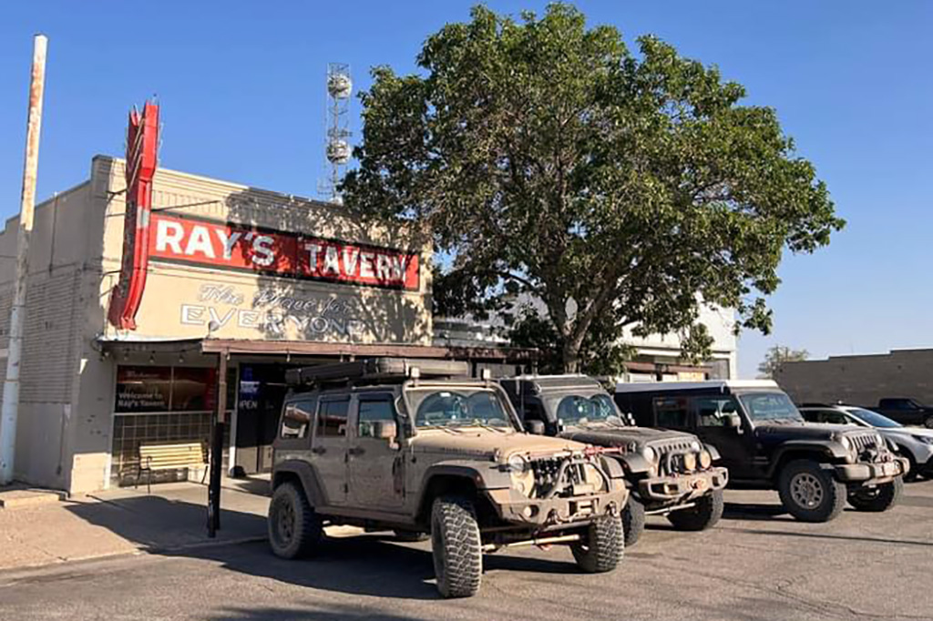
We pulled into Green River for burgers at Ray’s Tavern and discovered that one of our group had a flat tire. Three of us headed north on Section 4 to find a campsite for the night, while Dan with the flat tire would catch up to us, after a visit to the local truck stop. The sun was well below the horizon as we headed up Green River Cutoff Road, before turning onto Wedge Road, where we could find a spot to camp for the night.
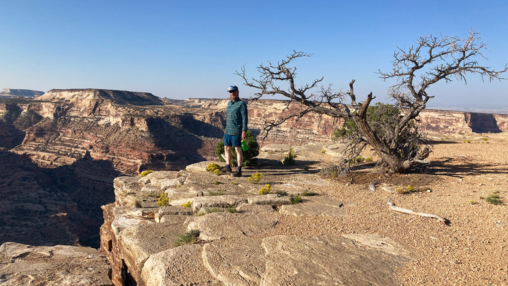
In the morning, we continued up Wedge Road to the Little Grand Canyon overlook and Wedge overlook and took in the sights for a bit. Then, it was back out to Section 4 where we continued north towards the town of Wellington, where we could pick up Section 5.
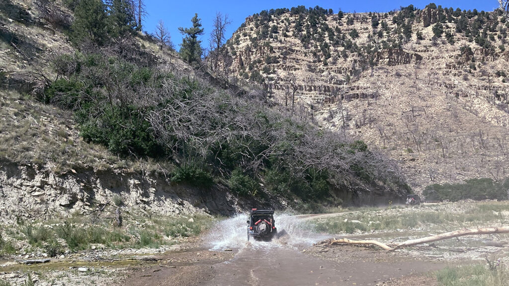
Section 5 is not particularly long at just 105 miles, but it offered a lot of varied terrain from 9,000-foot ridges of pine to the meandering Strawberry River and its lush stands of cottonwoods. Throw in a few small water crossings, and what’s not to like?
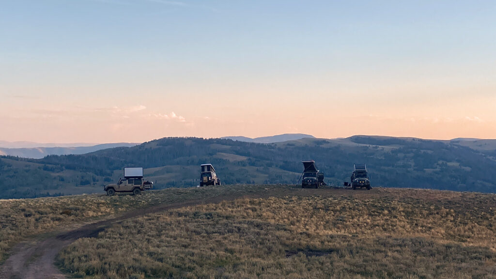
In Fruitland, we picked up Section 6 and gained quite a bit of elevation as we headed up into the Uinta Mountains, east of Salt Lake City. We spent the night at 9,000 feet with great views of the surrounding area. This Saturday would be my last night with the group, as I had to be back at work on Monday morning, and while I was not looking forward to an 800-mile drive, it would be good to be home!
The Utah BDR was my favorite one, so far, although certainly Moab had a lot to do with that. Not to mention all the parks and monuments with their signature red rock formations. Just like Arizona in the spring, the southern portions of the route were amazingly green – much greener than I expected. I am looking forward to coming back and spending more time in Moab, along with visits to the other parks that I did not get to see on this trip. Utah has a lot to offer, and I have just scratched the surface.
